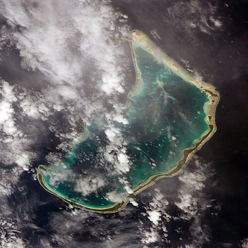
Abaiang
by Thomas Gilbert
A convict transport sails from Botany Bay to Canton in 1788. On the way its captain sights a Pacific atoll and names it after the owner of his ship.
Photo: NASA (Public domain)
Cartopédie › Inventions & Discoveries › Families
Own every card of: Exploration.
To explore is first to put places on the map. European navigators opened great sea routes from the 15th century onwards. The polar regions held out longer. Their coasts were only charted in the 19th and 20th centuries. Each expedition pushed back the limits of the known world.
The start of their anecdote. The album's other cards are for you to discover in the game.
by Thomas Gilbert
A convict transport sails from Botany Bay to Canton in 1788. On the way its captain sights a Pacific atoll and names it after the owner of his ship.
Photo: NASA (Public domain)
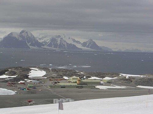
by John Biscoe
Tasked with hunting whales and seals in the southern seas, a former Royal Navy sailor set out for the South Atlantic with two ships. The Lively was wrecked in the Falklands and he returned to London in 1833.
Photo: User Apacheeng lead (CC BY-SA 3.0)
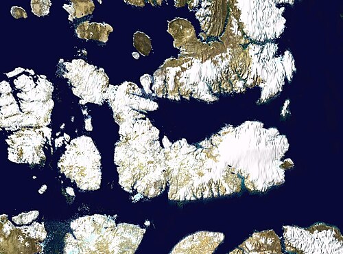
by Edward Parry
This strait lies on the route of the Northwest Passage between Lancaster Sound to the east and Melville Sound to the west. In 1819 the Admiralty sent two ships back to the Arctic under William Edward Parry with James Clark Ross on board.
Photo: NASA (Public domain)
One account, every theme. Free, no ads.


